"See on the map what before was seen on listings": a success story of Lloret de Mar's Town Hall.
The municipalities with mature information systems have a wealth of important data on the activities that take place in their territory, and virtually the majority have a strong component of geolocation.
Users have very specialized management applications (e.g. Population Census or Records Manager) to enter the data, modify it, exploit it and swap it with other administrations. The map is a natural tool to represent, communicate and explain many of these data and many municipalities, such as the of Lloret de Mar, are doing so for many years with Geographic Information Systems.
The combination of these two trends opens a very interesting opportunity: discover the city data from the map, in a natural and simple way, like millions of consumers already do with tools such as Google Maps.
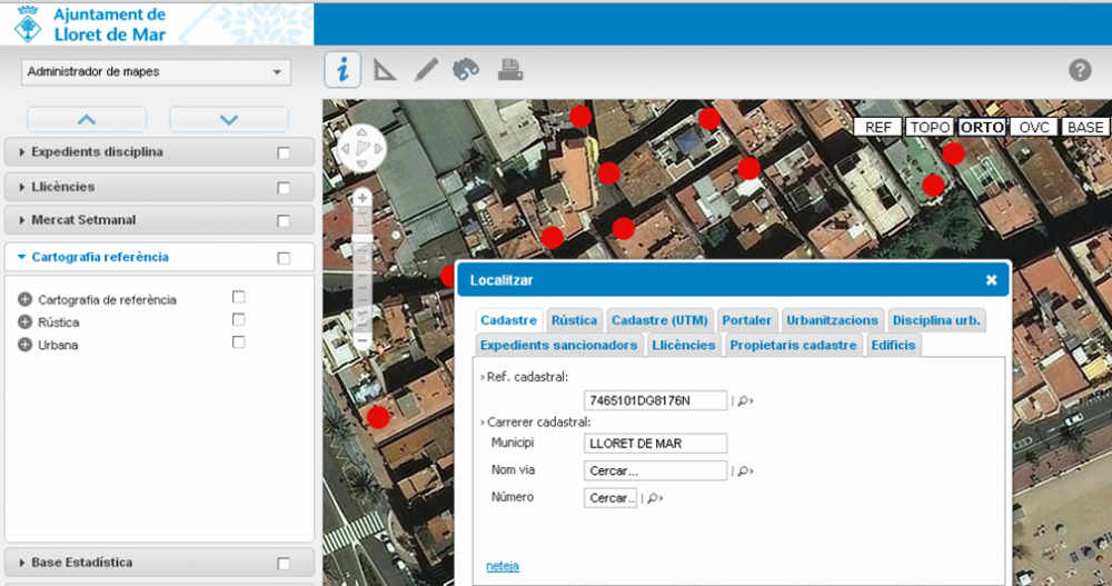
Maria Josep Rodriguez, Chief of the section of Information and Analysis of the Territory of the Town Hall of Lloret de Mar: The Town Hall of Lloret has located the municipal management data in the maps, integrating highly consolidated systems in the house: the Nucleus and the File Tracking of Genesys from Audifilm, and GIS intranet from Nexus Geographics. Users can see on the map the elements that before they saw in listings, they can click on them to know their characteristics, they can filter them geographically and apply search engines to find any item on the map. One of the fundamental issues of this integration is that users maintain the data from the same management applications (e.g. Tax Management, Population Census or Files) and are available automatically and without further intervention, in the application GIS Intranet.
GIS intranet is a specialized web application for city councils, developed by Nexus Geografics, a company of reference in geographic software, public transport, traffic and urban mobility that was founded in 1997
Audifilm is a company founded in 1973, part of the Assystem group international, and specializes in the design, development, implementation and support of professional solutions in the field of information technologies for the Public Administration.